DEM and DTMs
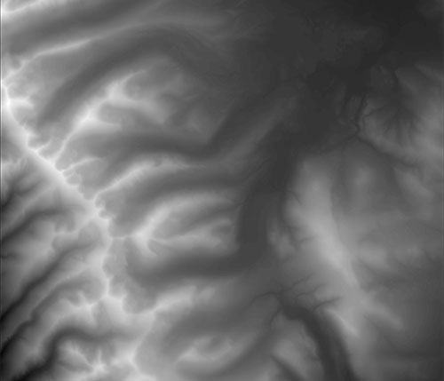
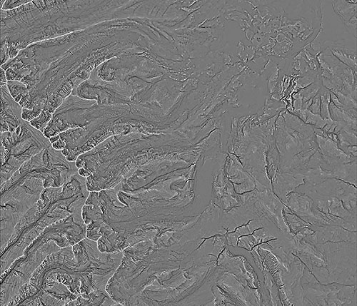
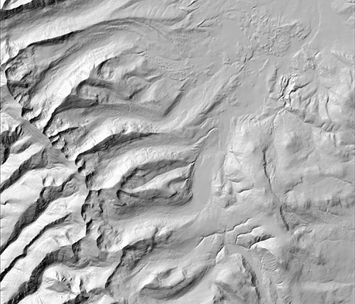
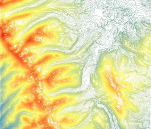
CartoSolution build high resolution Digital Elevation Models (DEMs) to support specialized applications such as Watershed management, 3D modeling, volumetric calculations for BIM, hydrology, and orthoimage generation. Cartosolution also generates Digital Terrain Models (DTMs) for contour generation, thematic mapping, and flood plain mapping.
In-Depth
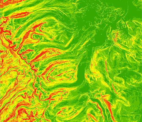
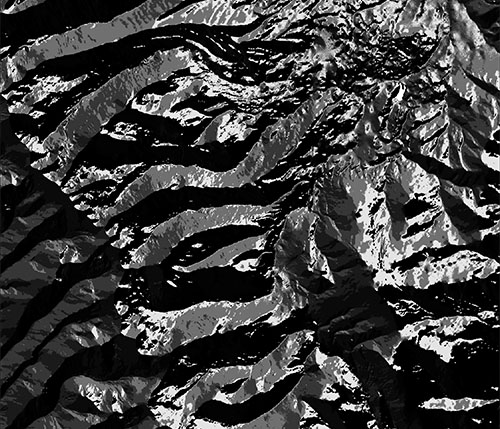
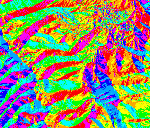
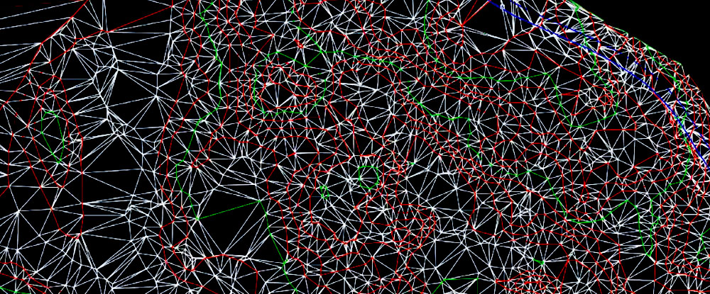
DEMs are good for landscape analysis. There are many more advanced and specialized functions and applications in ArcMap that can be used for analysis. This includes, but is not limited to, hydrologic analysis, geologic and geomorphic analysis and landscape development.
The DEM is a very useful feature in the geospatial analysis. It is used for many research fields and can be manipulated in many ways. The possibilities described in this GIS in Practice are just a summary of all possibilities of a single DEM.
It is also possible to do calculations with raster data. The DEM elevation values can be used for this, but another option is to reclassify the map and give each class a certain value that is used in a function. This can easily be displayed in a model, which can also be made in ESRI
Deliverables
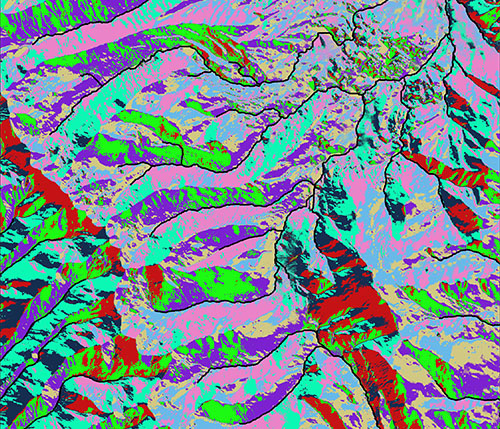
- Extracting terrain parameters.
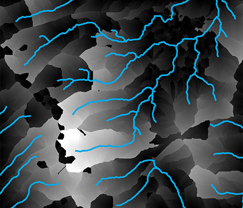
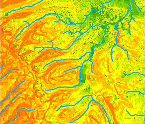
- Modeling water flow
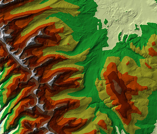
- Creation of relief maps
- Digital Terrain Modeling
- Rendering of 3D visualizations
- Drainage Networks
- watershed
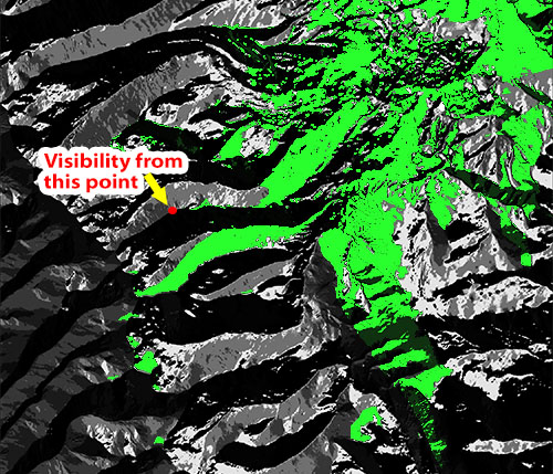
- Viewshed Analysis
DEM Modeling – The many uses and derivatives of a Digital Elevation Model
Digital Elevation Models (DEMs) are raster files with elevation data for each raster cell. DEMs are popular for calculations, manipulations and further analysis of an area, and more specifically analysis based on the elevation. ArcGIS has several built-in functions that are very easy to use and will turn the DEM into a derivative map.
Some common uses for DEMs?
- Watershed Modeling
- Civil Engineering
- RF Modeling (Wireless Communications)
- Simulation & Training – Military, Aviation, Urban Planning
- Cartography/Base Mapping
- Mining
- Orthorectification
Advantages of using DEMs:
- Accuracy and Quality
- Extensive Geographic Coverage
- Quick Turn-around Times
- Multiple solutions available to meet your project and budget needs
- Custom recommendation for your specific project area/type
Drone images are a new alternative for areas where manned aircraft are either not available or would be prohibitively expensive, and satellite solutions don’t meet project specs. Drones offer up to 1.5cm and more resolution imagery/2.5cm resolution DEMs. Drone system automatically generates GCP for the area of interest and it offers a wide range of by-products too.
Get a Quick Quote
We will get back to you soon. Thanks for the mail!
