Telecommunication Network
The telecommunications sector is at the key player of digital transformation in our world, this industry faces significant tech upgradation and norms evolves over the past 20 years. The demand of single bandwidth for all needs like voice over net, video call, high bandwidth internet leads the tech providers to upgrade from copper network to fiber optics.
CartoSolution provides innovative GIS solution for every generation of telecom technology from 2G to latest 5G. We can help you in drafting and migration services using CAD, GIS, building clutter data with very high resolution data levels for 5G networks.
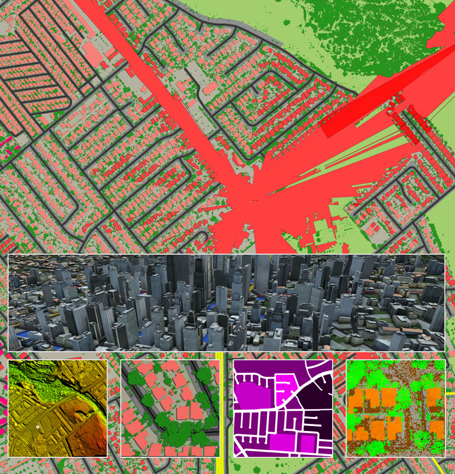
Crucial requirement of 5G bandwidth is the utilization of centimeter waves (cmWave) and Millimeter Wave(mmWave). All kind of terrain features - building or tree - located near 5G tower has large impact on signal propagation.
GIS FOR WIRELESS NETWORK DESIGN
- Digital Terrain Model
- Digital Surface Model
- Clutter/Land Use Model
- Clutter Height Model
- Otrhoimage
- Demographic Model
- Vector Model (Linear Objects)
- Buildings and Vegetation Height Model
3D MODELS PRODUCTION PROCESS
SATELLITE IMAGES PROCESSING
- Selection of appropriate images
- Radiometric and atmospheric correction
- Georeferensing and geometric correction
- Orthorectification
- Image fusion
- Mosaicing
LAND USE CLASSIFICATION / LIS
- Types of urban areas (urban sprawl)
- Hydro data
- Woody and non-woody vegetation
- Other types of landscape
EXTRACTION OF LINEAR FEATURES
- Boundaries
- Street Center line
- Railway / Metro networks
- Engineering constructions
- Water lines
3D BUILDINGS EXTRACTION / Low Poly Modling
- High res satellite and Drone images are used
- Low Poly Extraction of buildings from stereo pairs of satellite / Drone
- Building footprints height
Geospatial and 5G
5G is the upcomming internet super highway the next brakethrough in telecomm. 5G will jump start the path towards digital world as a highbandwidht ecosystem that incorporate Cloud data, virtualization, AI and intelligent machines, to derive from data that is generated by billions of connected users. 5G is the main link for smart machines, driverless cars, smart cities, robotics, and may things more. 5G makes expressway for connected world.
CartoSolution SERVICES 5G:
GEODATA FOR 5G PLANNING
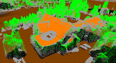
3D city model made specifically for 5G planning 1m resolution 3D buidings with small roof details Budget 3D&2.5D solution for suburbs and rural areas
DIGITAL MAPS FOR TELECOM
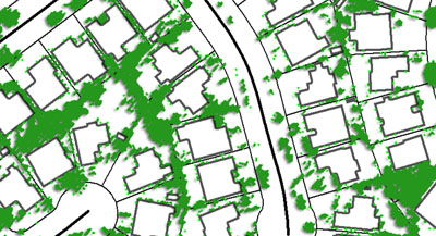
CartoSolution provide cost-effective geospatial data for telecommunication industry worldwide. We have been supporting our customers since their deployment of GSM networks.
3D MAPS
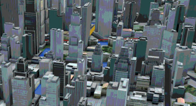
CartoSolution provide Low Poly digital 3D maps customized solutions for each client.
PLANIMETRIC MAPS
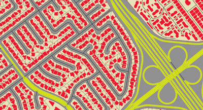
We use a various type of image processing techniques, photogrammetric, and GIS-based mapping methodologies to extract data features from imagery.
DEMOGRAPHIC MAP
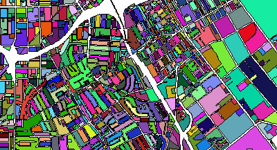
Demographic data is an important element of making data for wireless networks planning and optimization.
Get a Quick Quote
We will get back to you soon. Thanks for the mail!
