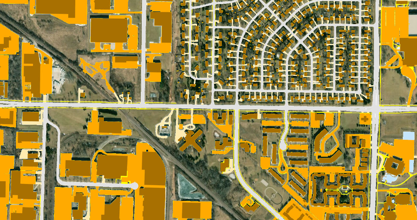
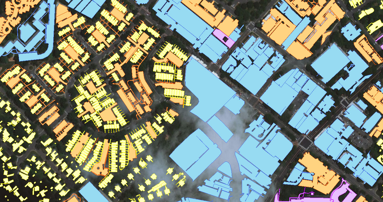
Impervious surfaces are areas where a portion of the land has been modified to reduce the land’s natural ability to absorb and hold rainfall. Environmental and permitting concerns need to be addressed as land development progresses.
CartoSolution GIS team is consistently improving in house tool to support stormwater management from various sources such as annual aerial photography flights, online aerial map services, Civil CAD drawing of commercial developments built-out, and change detection processes to residential communities through the use of completed demolition and building permits.
APPLICATIONS for IMPERVIOUS SURFACE
- Hydraulic and hydrologic modeling
- Modeling storm water
- Predicting non-point source water pollution loads
- Developing storm water remediation plans
- Assessing storm water utility fees
- Measuring urban development/build-out analysis
- Assessing and monitoring watershed health
- Watershed modeling
- Urban planning and land use planning
WE ARE HERE TO HELP YOU
For more information or work order for 3D Visualization services, call CartoSolution Client support at (+91 931 528 1315), or contact us by e-mail at hello@cartosolution.com