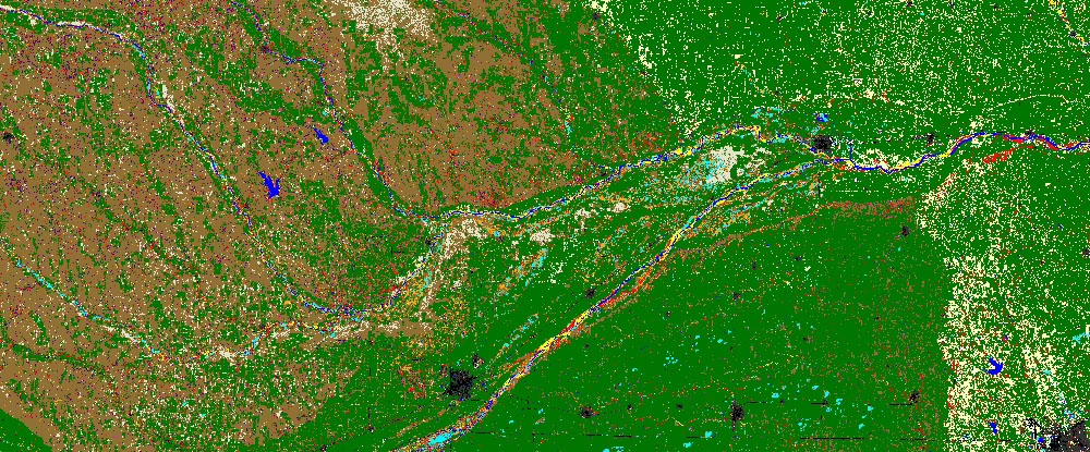
Land Use Land Cover
Land management and land planning requires a knowledge of the current state of the landscape. Understanding current land cover and how it is being used, along with an accurate means of monitoring change over time, is vital to any person responsible for land management. Measuring current conditions and how they are changing can be easily achieved through land cover mapping, a process that quantifies current land resources into a series of thematic categories, such as forest, water, and paved surfaces. By using remotely sensed imagery and semi-automated classification methods, CartoSolution provides cost-effective and accurate means to derive land resource information and maintain its currency into the future.
WHO BENEFITS FROM LAND COVER MAPPING?
The surface of the Earth is continuously changing at many levels; local, regional, national, and global scales. Changes in land use and land cover are pervasive, rapid, and can have significant impacts for people, the economy, and the environment. Among the organizations that will benefit from the information derived from land cover solutions are:
- Federal, state, city, county government agencies
- Environment and research organizations
- Water districts
- Engineering firms
- Private forestry organizations
LAND COVER MAPPING APPLICATIONS
CartoSolution land cover products and solutions are used for planning land use and deriving additional thematic layers to support land management applications such as:
- Impervious quantifications for stormwater runoff prediction and drainage requirements
- Tree canopy calculations for stormwater runoff and pollution impact studies
- Irrigated and non-irrigated water use calculations for arid areas
- Environmental assessment of undeveloped and vacant land identification
- Planning green space and trails for recreational purposes and other urban planning applications
- Ecosystem or forest species / community maps
- Fire hazard maps that relate to fuel availability for wildland fires
- Urban planning assessment
ACCURACY ASSESSMENT
A standard accuracy assessment will be conducted using by selecting a series of random points within the project area to determine whether classification is accurate. Methodology to be used will be determined at the project kickoff meeting
CONDITIONS
- Order acceptance subject MoU
- Shipping and handling fees may apply.
- Price does not include imagery
- 3 band digital CIR – no extra charge
- 3 band RGB digital – 10% uplift on price
- 3 band CIR analog scanned – 10% uplift on price
- 3 band RGB analog scanned – 15% uplift on price
Deliverables
- Dataset will be delivered with an accuracy assessment and FGDC compliant metadata.
- Final product will be produced in .TIFF file format, delivered on media appropriate to the size of the file
- Hard Drive File Size 4.7 GB
- Optional delivery method via FTP (file transfer protocol) allows the file to be downloaded without the use of additional media

Land Use Case Study
More current, accurate, and cost-effective methods for gathering information about landscape change have become available to users in the fields of urban planning, land management, and natural resource conservation. CartoSolution offers three levels of land cover products that can be tailored to meet your project requirements.
